Winterbrook Falls and Rainforest Walk
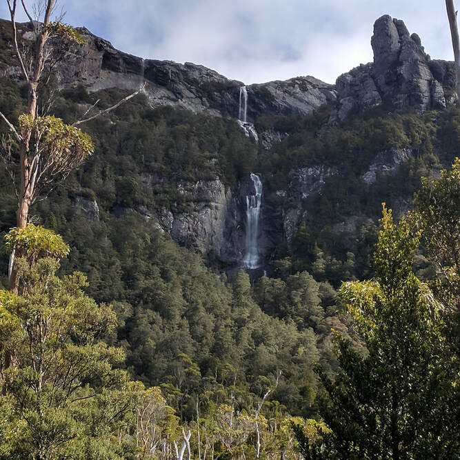
A pretty walk through myrtle rainforest to a stunning large waterfall. Winterbrook flows from the top of Black Bluff Mountain and falls 200m off the mountainside in three drops and then gradually flows to join the Leven River at Loongana.
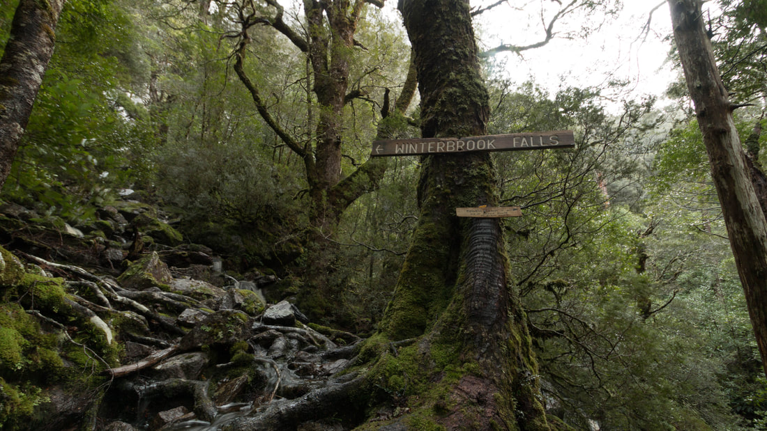
Generally the walk is recommended for people with some bushwalking experience. There is a formed track but be ready to negotiate fallen trees which means you need to keep a close eye on your direction as well as trail markers.
|
Winterbrook walk is in the Winterbrook Forest Reserve approximately 30 mins drive from Mountain Valley, Loongana, 15km/30mins south of the Leven Canyon and 50km/1 hour from Ulverstone.
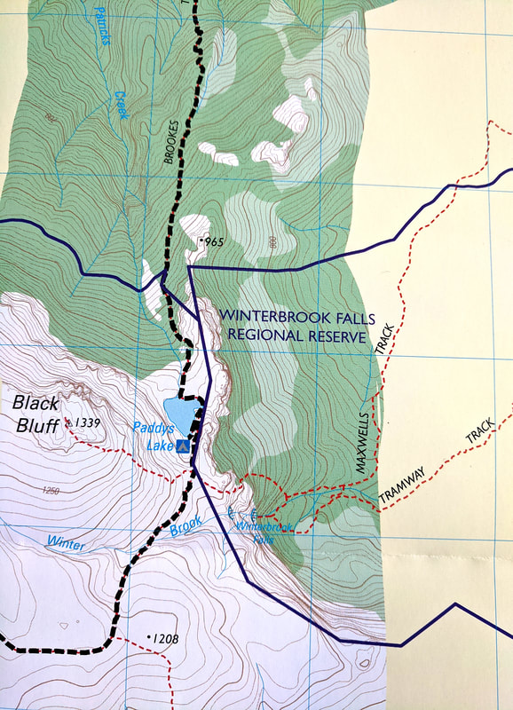
The walk to the falls is 11 km and comfortably 6 hours return. For an exhilarating one-way day walk continue up to Black Bluff plateau, join the Penguin Cradle Tail at Paddys Lake and finish at Loongana. By booking at Mountain Valley Cabins you can enjoy nice warm accommodation at the end of the day. |
Vegetation
Temperate rainforest with mature stands of Sassafras, Myrtles, Blackwood, Eucalyptus, King Billy pine and Celery Top pine with an understory of Mountain Pepper, Mountain Laurel, Horizontal scrub and Waratah.
The King Billy Pines here are the most northern stands in the state. There is now young regrowth and some giant specimens of King Billy Pines along the trail. These specimens are estimated to be 2000+ years old.
History
Once selectively logged, the walk traverses an old horse-drawn tramway and bullock drawn snig tracks. Remains of a Piners Settlement can be found just off the trail not far from the start of the walk if you know where to look, with an intact saw pit where the King Billy was sawn. From here it was taken to the Nietta Railway (no longer in existence).
THE WALK
Entrance is from Smiths Plains Road, south of South Nietta. The road turns to unsealed Forestry Roads, and can be somewhat challenging to drive on when muddy if you do not have a 4WD. The road abruptly ends due to partially collapsed bridge. Park off to the right in the old quarry area and commence your walk from here.
The first part of the walk is along a closed road. Once you reach an open area the Tramway Track starts. The first part of the walk is flat with some boardwalks through boggy areas. The last 20minutes to the lookout point just before the falls is fairly steep, there is a good vantage point to view the falls and the rock escarpment. Another 10 minutes takes you to the bottom of the falls.
The first part of the walk is along a closed road. Once you reach an open area the Tramway Track starts. The first part of the walk is flat with some boardwalks through boggy areas. The last 20minutes to the lookout point just before the falls is fairly steep, there is a good vantage point to view the falls and the rock escarpment. Another 10 minutes takes you to the bottom of the falls.
For a Longer One-way Walk continue to Taylors Flats, Loongana
|
NOTE: The track is not well marked - this is a general description:
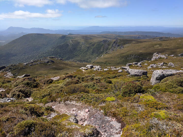
From the base of the falls, back-track to where the Maxwells Track branches off and crosses Winterbrook below the falls. (If you reach the button grass, you have back-tracked too far.) Walk north along Maxwells Track for a short distance (100-200m) to where a track heads steeply up-hill to the west. This track leads up past the tree-line, through a gap between two craggy boulders called the ‘Eye of the Needle’ and then over some smooth slabs of rock where you can see the falls down below. Then walk towards the saddle above Paddys lake you should see the track up to the bluff roughly straight ahead. You will join up with the Penguin Cradle Trail, follow this past Paddys Lake and down the Brooks Track to Taylors Flats. |
